2007
Como importar puntos de Excel a AutoCAD
21
Nov
205
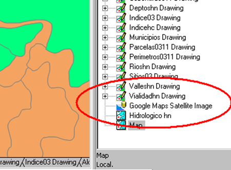
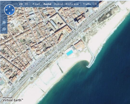
Como conectar un mapa con Google Earth
20
Nov
5

Posted in:
ArcGIS-ESRI ,
google Earth / maps ,
Manifold GIS ,
Microstation-Bentley ,
Virtual Earth ,
Confusiones del mito Catastro 2014
14
Nov
5
Dibuja y manda a Google Earth
13
Nov
4
Plataformas GIS, quienes toman ventaja?
13
Nov
1

Posted in:
ArcGIS-ESRI ,
CadCorp ,
geospatial - GIS ,
google Earth / maps ,
Manifold GIS ,
Microstation-Bentley ,


