
Puntos, superficies y alineamientos. Aprende a crear diseños y obras lineales básicas con el software Autocad Civil3D aplicado a Topografía...
Google Earth - from beginner to advanced uses - AulaGEO
Get the most out of Google Earth with geography, engineering and cadastre applications
Course details
Video
:
1 hours
Certificate of Completion
- Descripción
- FAQ
- Reseñas
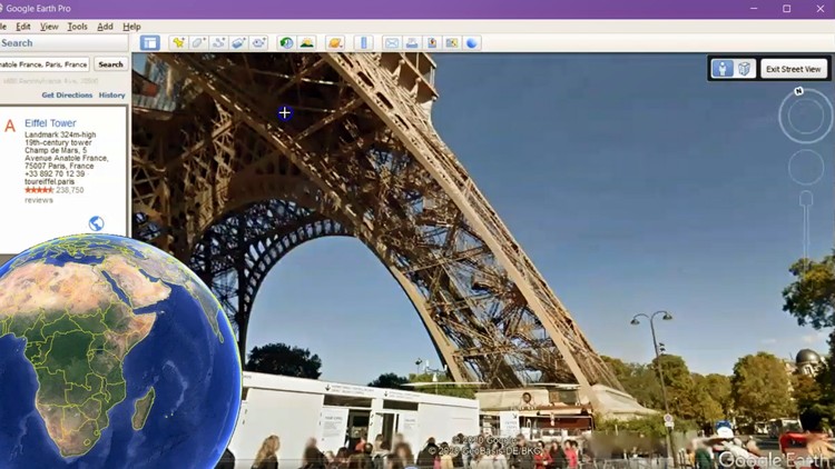
Google Earth is software that came to revolutionize the way we see the world. The experience of circling a sphere when but with a scope of approach to any part of the world, as if we were there.
This is a unique course, from the basics of sailing to the construction of three-dimensional guided tours. In this, a professional from the social sciences, journalism or a teacher will open their minds to take full advantage of this tool to make better expositions. You can also find new ideas for exercises and projects with your students with applications for engineering, geography, geographic information systems or cadastre.
#AulaGEO
Additionally, the course has an advanced level explaining different interactions of Google Earth with the cadastre areas, geographic information systems and engineering. This includes things like:
-
Import coordinates from Excel,
-
Import satellite images,
-
Georeferencing images,
-
Download images from Google Earth,
-
Send ArcGIS and AutoCAD software data to Google Earth,
-
Georeference data,
-
Construction of routes and guided tours,
-
Import cadastral data and add elevation.
The course includes both the data used in the explanations (images, CAD files, GIS files, Excel files, KML files), as well as the software used for the georeferenced image download exercises and also for data conversion.
How long do I have access to the course materials?
You can view and review the lecture materials indefinitely, like an on-demand channel.
Can I take my courses with me wherever I go?
Definitely! If you have an internet connection, courses on Udemy are available on any device at any time. If you don't have an internet connection, some instructors also let their students download course lectures. That's up to the instructor though, so make sure you get on their good side!
Estrellas 5
0
Estrellas 4
1
Estrellas 3
8
Estrellas 2
1
Estrellas 1
0
Trabajar con datos externos de Google Earth


Creo Parametric es el software de diseño, fabricación e ingeniería de PTC Corporation. Es un software que permite realizar modelados,...

Guía completa del uso de Robot Structural Analysis para el modelado, cálculo y diseñó de estructuras de concreto y acero...