


Aprende a utilizar REVIT MEP para el diseño de Instalaciones Sanitarias. Bienvenidos a este curso de Instalaciones Sanitarias con Revit MEP....
Remote Sensing using ArcGIS Pro - AulaGEO
Applications of Remote Sensing using ESRI Products
Course details
Nivel
:
Video
:
4 hours
Certificate of Completion
- Descripción
- FAQ
- Reseñas
This is a coourse of applications of Remote Sensing using ESRI Products. Includes:
#AulaGEO
1) Introduction
i. Course overview
2) Introduction to ArcGIS Online
i. Basics of ArcGIS Online
ii. ArcGIS Online Sign in and map viewer
iii. ArcGIS Online map layout and tools
iv. Preparing a map in ArcGIS Online
v. Introduction to ArcGIS Living Atlas
3) Introduction to ESRI Story Map
i. Basics of ArcGIS Story Map
ii. Overview of an example story map
iii. StoryMap layout (Part-A)
iv. Storymap layout (Part-B)
v. Final example of Story map
4) Land use science
i. Basics of Land use land cover (LULC) analysis
ii. Downloading satellite data from USGS
iii. Importing data and applying preprocessing inside ArcGIS Pro (Part-A)
iv. Importing data and applying preprocessing inside ArcGIS Pro (Part-B)
v. Performing land use classification (Part-A)
vi. Performing land use classification (Part-B)
vii. Visualizing and preparing final maps for LULC in ArcGIS Pro
5) Time series analysis for Urban Sprawl Analysis
i. Background of Time Series, Urban Sprawl and Change Detection
ii. Preparing LULC maps for time series analysis
iii. Estimating area for each LULC class for each year
iv. Change detection in ArcGIS Pro
v. Publishing findings for study area using ESRI Story maps
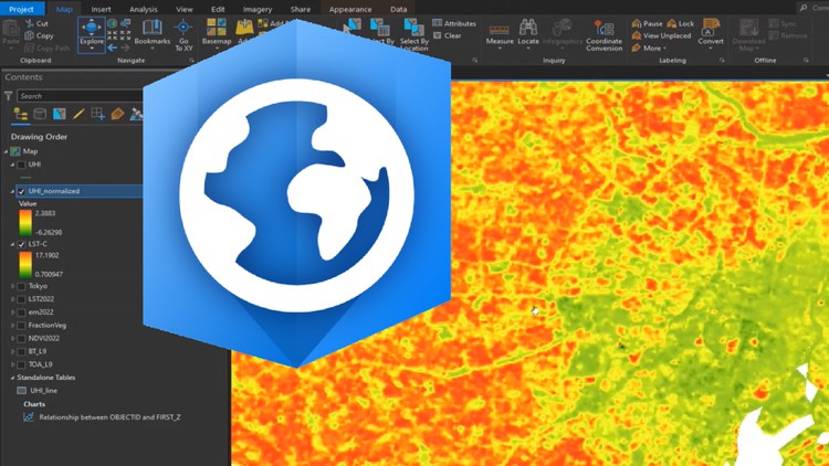
6) Urban Heat Island (UHI) Effect
i. Basic concepts of UHI
ii. Evaluating LST from Landsat satellite in ArcGIS Pro (Part-A)
iii. Evaluating LST from Landsat satellite in ArcGIS Pro (Part-B)
iv. Evaluating UHI trends from LST
v. Evaluating UHI (Normalized) and UTFVI from LST
How long do I have access to the course materials?
You can view and review the lecture materials indefinitely, like an on-demand channel.
Can I take my courses with me wherever I go?
Definitely! If you have an internet connection, courses on Udemy are available on any device at any time. If you don't have an internet connection, some instructors also let their students download course lectures. That's up to the instructor though, so make sure you get on their good side!
Estrellas 5
118
Estrellas 4
46
Estrellas 3
22
Estrellas 2
4
Estrellas 1
4
Introduction to ArcGIS Online
Introduction to ESRI Story Map
Land use science
Time series analysis for Urban Sprawl Analysis
-
12
 Basics of Land use land cover (LULC) analysis
 -
13
Downloading satellite data from USGS
-
14
Importing data and applying preprocessing inside ArcGIS Pro (Part-A)
-
15
Importing data and applying preprocessing inside ArcGIS Pro (Part-B)
-
16
Performing land use classification (Part-A)
-
17
Performing land use classification (Part-B)
-
18
Visualizing and preparing final maps for LULC in ArcGIS Pro


Alineamientos avanzados, superficies, secciones transversales. Aprende a crear diseños y obras lineales básicas con el software Autocad Civil3D aplicado a...

Actualmente hay muchos interesados en el tratamiento de grandes cantidades de datos para interpretar o tomar decisiones acertadas en todos...